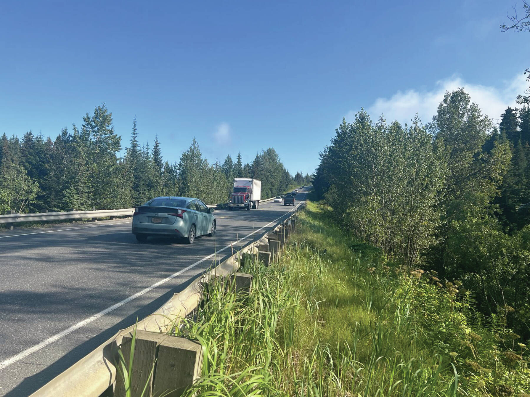
The Diamond Creek Recreation Area is comprised of 273 acres of City of Homer-owned property within the Diamond Creek watershed. Under Ordinance 07-03 the DCRA is designated for “public purpose as park land in perpetuity.”
As local Nordic skiers and snowshoers might be aware, some of the Kachemak Nordic Ski Club’s Baycrest trails (College Avenue, Raven’s Way) also lie within the DCRA. Adjacent to the eastern boundary lays the 360-acre Department of Natural Resources Homer Demonstration Forest, home to the majority of the KNSC Baycrest ski trail system. Together, these two parcels house nearly 20 miles of Nordic ski trails and several more miles of snow shoe trails.
During peak winter months trail counters have logged 1,000 users per week accessing the trails from the Rogers Loop Trailhead alone. On Saturdays, during the months of January and February, you might find over 60 KNSC Junior Nordic skiers accessing the trails from the DOT Trailhead at Milepost 169 of the Sterling Highway. It’s hard to imagine winter in Homer without this fabulous trail system.
The west boundary of the DCRA abuts the Sterling Highway near MP 168. Across the highway near MP 167 lies the 324-acre Alaska State Parks Diamond Creek State Recreation Site. Thanks to recent hard work by Homer Cycling Club volunteers, there are now 4 miles of fabulous cycling/hiking trails winding through the uplands of the park. The area also offers public access to the remote part of the beach between Bishop’s Beach and the Anchor River.
Along with adjacent borough parcels and private easements, these areas comprise over 1,000 acres of prime public recreation lands along Homer’s gateway. Management for the DCRA is outlined in the DCRA Multi Resource Management Plan prepared by Homer Soil and Water Conservation District and adopted by the city in May of 2013. A copy of the plan can be found on the City of Homer website and I would encourage interested readers to review it: https://www.cityofhomer-ak.gov/sites/default/files/fileattachments/city_council/meeting/2662/dcra-5-21-13_0.pdf.
On page 8 of the plan, recommendations for improvements into the DCRA include:
1) “Establishing a new trailhead on the eastern side of the Sterling Highway, on the western edge of the DCRA, offers a unique opportunity to create a highly useful and attractive recreational linkage between the DCRA and the Diamond Gulch trail on the opposite side of the highway.”
2) “When the Baycrest Hill stretch of the highway is improved, an enlarged culvert could be installed to permit pedestrian (and wildlife) travel under the Sterling Highway along the creek.”
Additionally, under Goals and Objectives on page 13, the plan calls to “Develop a summer trail system through and connecting upland areas (“forest islands”) within the DCRA, … Extend DCRA trails to the Sterling Highway and connect DCRA trails to current HDF trails.”
The management plan speaks to the foresight of both the planners and the city over 10 years ago in addressing their concerns for the future development and protection of these valuable recreation areas. They recognized what trails have to offer to the community, including improved mental and physical health and economic opportunities. They put a great deal of effort in planning for the future of these public lands and Homer’s gateway for our benefit.
The first phase of the Sterling Highway MP 157-169 Rehabilitation Project is scheduled to begin this year. The recent passage of Ordinance 24-06 by the City Council authorizes the City to take the first steps to implement the 2013 plan in hopes of convincing the Alaska Department of Transportation and Public Facilities to include the underpass in the upcoming project. The ordinance allocates $25,000 toward engineering services to conduct a preliminary design and feasibility study to establish a trailhead along the Sterling Highway and connect the DCRA to the proposed underpass.
Should this effort be successful in getting the underpass included in the project, it will create the only safe pedestrian crossing of the Sterling Highway between Anchor Point and Homer.
The current rate of development surrounding the gateway, coupled with the addition of passing and turning lanes in the new highway design will make an already challenging crossing into the state park exponentially more dangerous. Establishing the proposed underpass will address that problem in perpetuity.
Our city planners and recreation enthusiasts recognized this when they outlined and adopted the 2013 management plan. It is high time we implement their vision and do what we can to prevent an avoidable catastrophe along that stretch of highway.
Billy Day is longtime resident of Homer and a member of the Homer Trails Alliance Board.


