
Prescribed burns around the Chugach National Forest will produce smoke visible from several points along the Sterling and Seward highways in the coming months and through the spring, a media advisory from the U.S. Forest Service last week says.
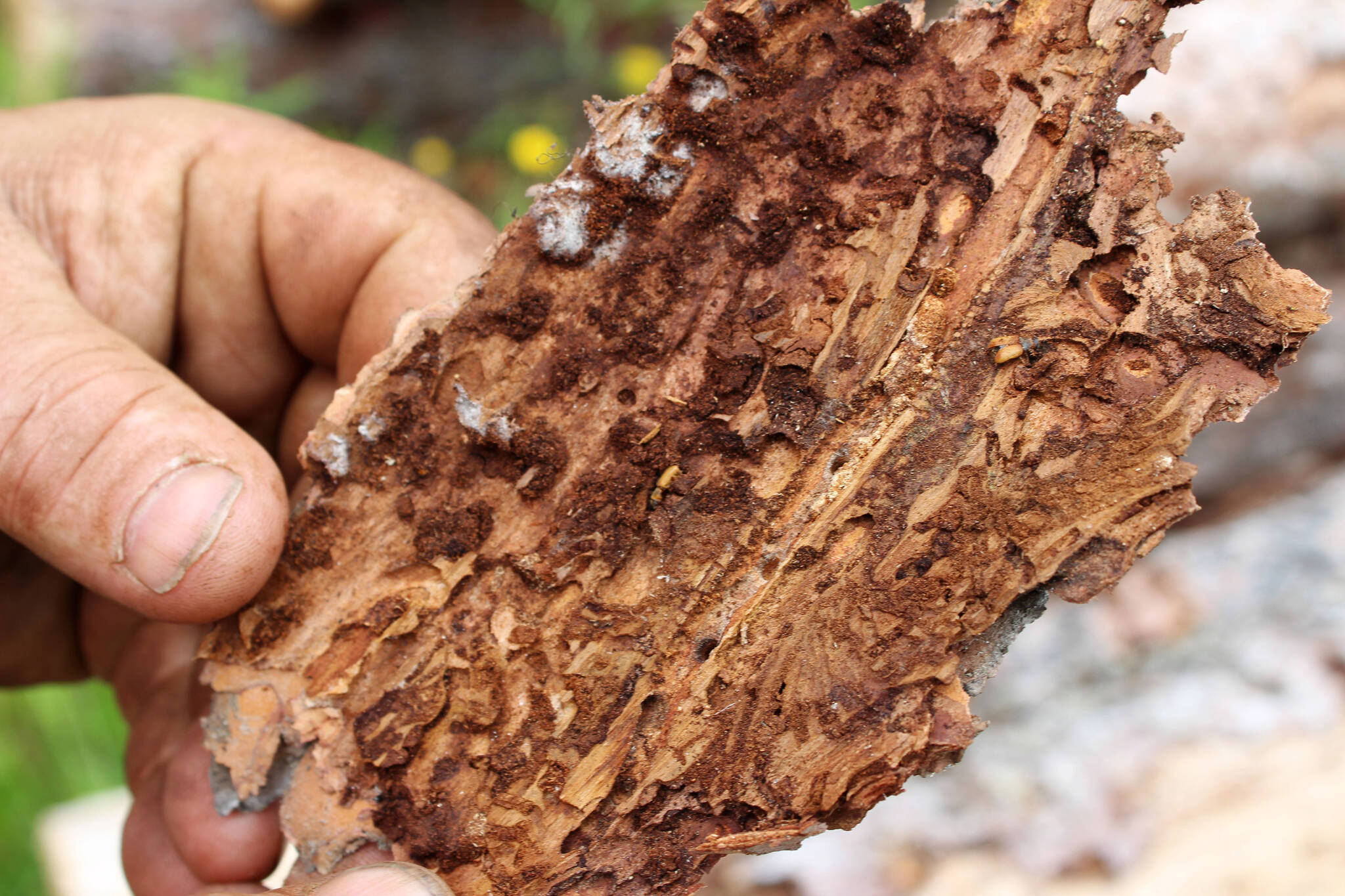
The burns are part of “ongoing efforts” to mitigate the hazards of spruce beetle damage, the release says. The work will lessen the potential for a wildfire and reduce the severity of a possible fire.
According to the advisory, the forest service will collaborate with the National Weather Service and the State Department of Environmental Conservation to schedule burns under conditions favorable to smoke dispersion.
Smoke may be seen near the Sterling Highway near Milepost 53 from Russian River Campground, the K’beq’ Cultural Heritage Interpretive Site and Resurrection Pass South Trailhead. Smoke may also be seen near Milepost 45 from Quartz Creek Road and Milepost 41 from Dave’s Creek Power Substation.
Near the Seward Highway, smoke may be seen near Milepost 24 from Kenai Lake Work Center, near Milepost 33-37 from “Avalanche Acres,” near Milepost 39-42 from Devil’s Creek Trailhead and near Milepost 46 from Tenderfoot Campground.
Finally, smoke may be seen near Hope, from Hope Point Trailhead.
“Motorists and personnel in these areas should plan accordingly and exercise caution.”
Updated information about prescribed burns can be found at the Chugach National Forest’s social media accounts on Facebook or X, formerly known as Twitter.
Reach reporter Jake Dye at jacob.dye@peninsulaclarion.com.
